Marine Heat Waves
Summary of CBEFS Marine Heat Wave ForecastingMarine heat waves occur when the water temperature is elevated for a prolonged period of time and can be detrimental to marine life, with the frequency of marine heat waves in the Bay increasing over time. Elevated water temperatures are forecast in CBEFS using two different methods. The first is based on the definition of a marine heat wave and the second alternate method is based simply on the water temperature being high. The below bullets describe the two calculations. The alternate forecast is provided in a dropdown menu near the bottom of the page.
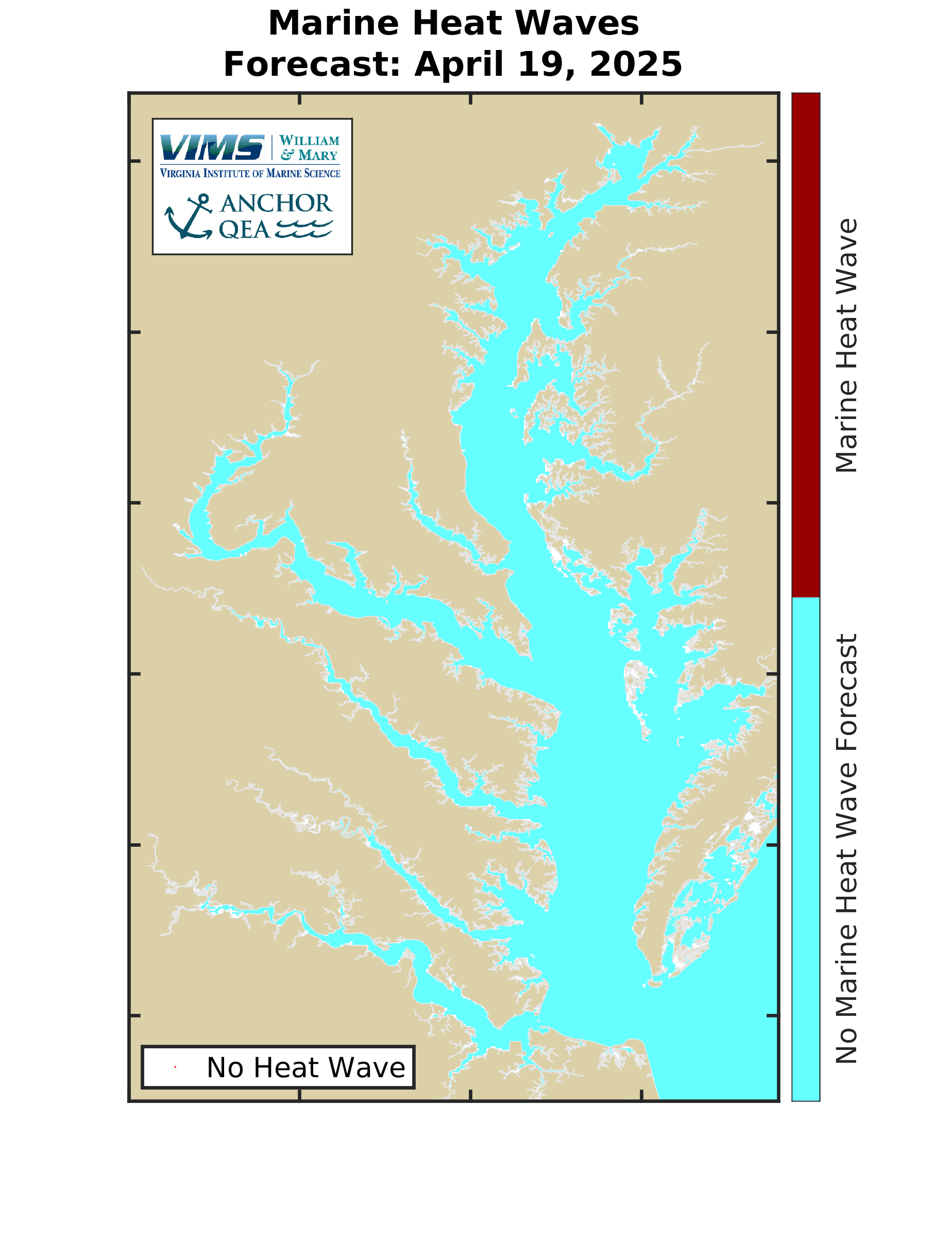
For CBEFS to forecast a marine heat wave, the area of water experiencing a marine heat wave must be above 1000 acres, approximately 0.04% of the Bay surface area. This allows the forecasts to focus on more significant marine heat wave events and not small-scale localized elevated water temperatures. |
Marine Heat Wave Forecast
Maps show current locations of forecast marine heat waves (if any) and a line plot shows the forecast area of the Bay undergoing a marine heat wave through time. Please note marine heat wave forecasting began in March 2025, so forecast areas are not available prior to that.
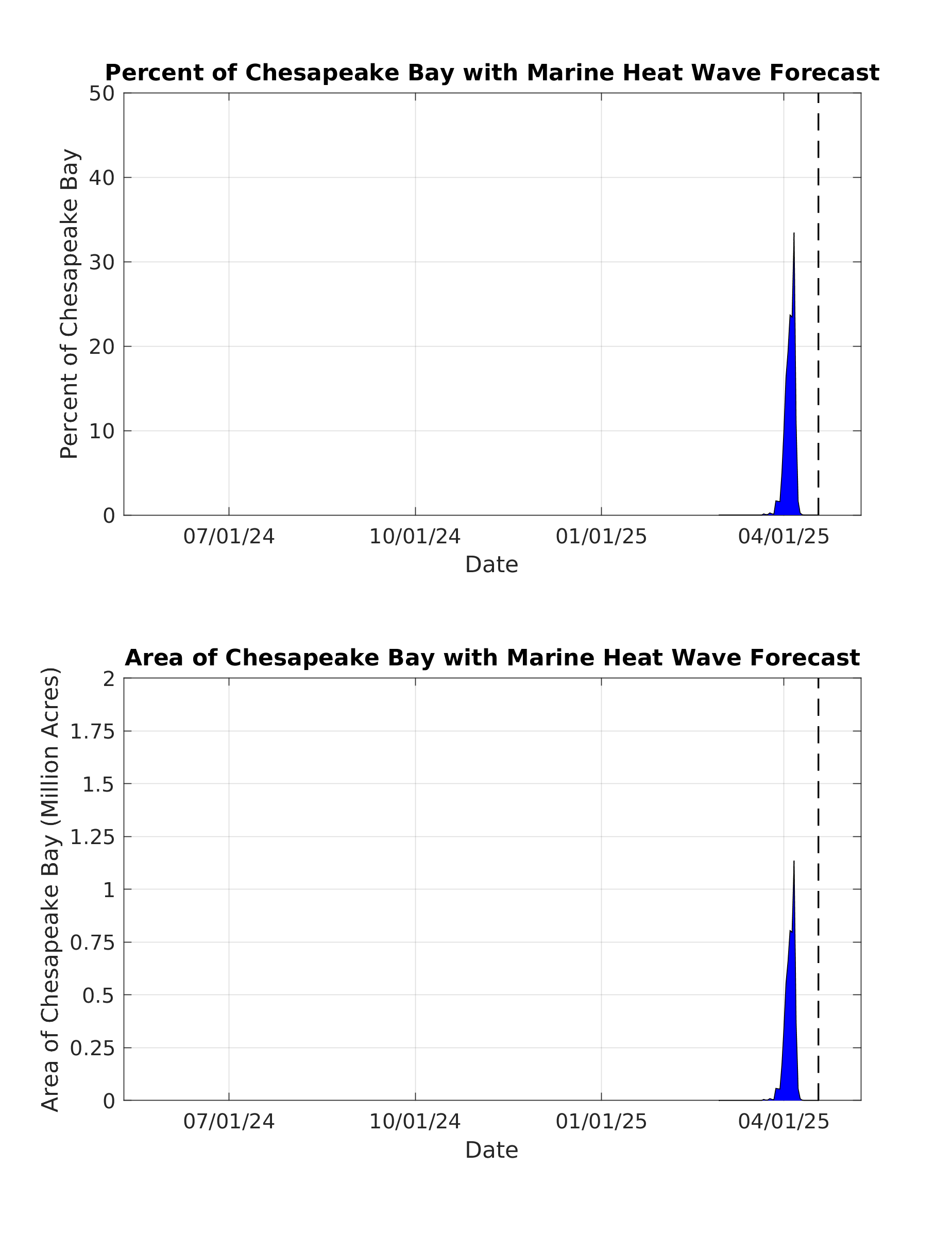
* The area of Chesapeake Bay used here includes the portion of the Eastern Shore and coastal ocean seen on the above map.
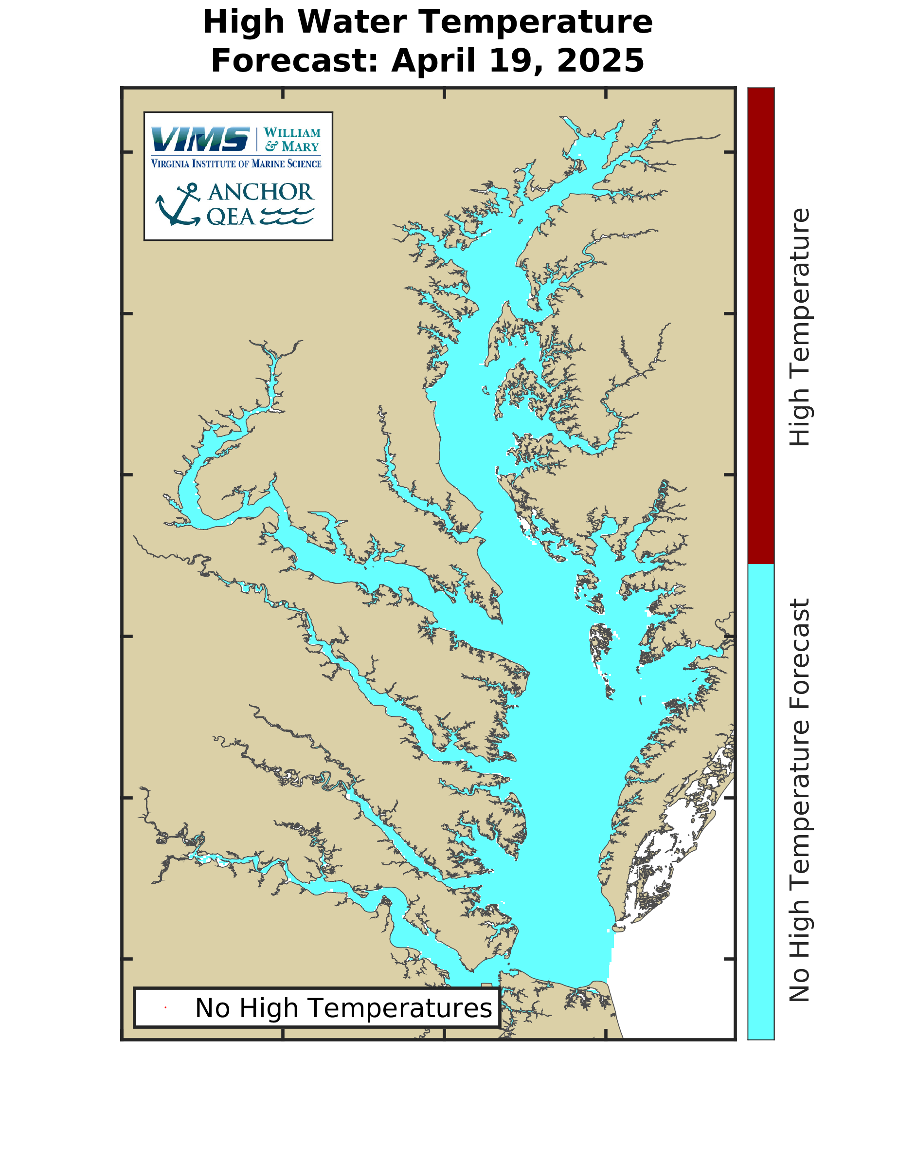
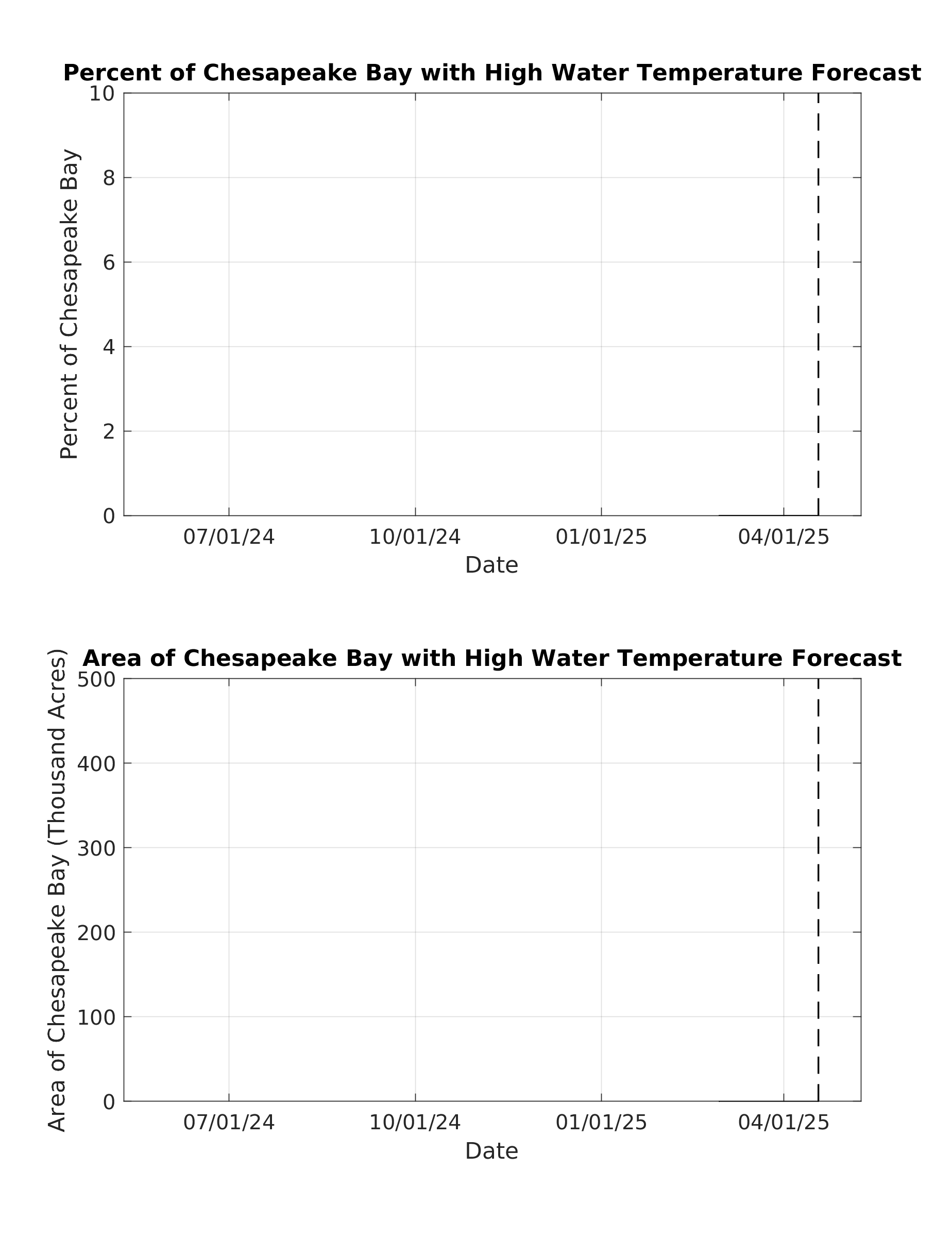
Forecast Using Alternate High-Temperature DefinitionThis section provides the forecast of water temperature being higher than 82.5 degrees Fahrenheit. Maps show current locations of forecast high temperatures (if any) and a line plot shows the forecast area of the Bay through time. Please note high temperature forecasting began in March 2025, so forecast areas are not available prior to that.
|