VIMS team wins Governor’s Technology Award
Group honored for computer modeling of storm-tide flooding
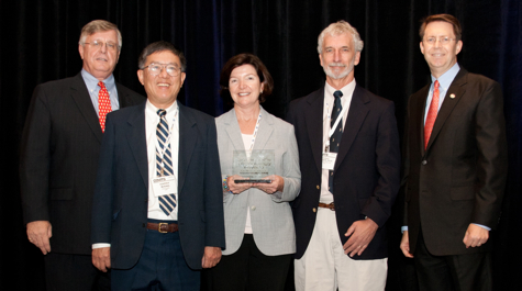
Professor Harry Wang and colleagues at the Virginia Institute of Marine Science have won a prestigious Governor’s Technology Award for their leading role in the Chesapeake Bay Inundation Prediction System, or CIPS.
The awards, now in their 14th year, recognize Virginia agencies, programs, and people that use information technology to improve the delivery and efficiency of government services while solving real-world problems.
Wang's team was an inaugural winner in the new category of “Innovative Use of Modeling & Simulation Techniques.” They were recognized for their development and continuing refinement of a cutting-edge computer model for predicting storm-tide flooding of the Chesapeake Bay shoreline during hurricanes and nor’easters. The model also aids in planning for sea-level rise.
The awards were presented on September 26 in Richmond during the Commonwealth of Virginia’s Innovative Technology Symposium (COVITS), an annual meeting of senior-level executives and technology decision-makers from state and local government, business, and education. Governor Bob McDonnell kicked off the symposium, which provides opportunities to identify, discuss, and propose solutions to Virginia’s critical technology issues.
VIMS Dean and Director John Wells says the award is “extremely well deserved, and provides further evidence of the benefits that VIMS research brings to the Commonwealth and its citizens.”

The Model in Use
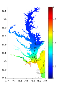
Wang and his team most recently applied their high-resolution computer model during the passage of Hurricane Irene, working for nearly three days straight to generate successive water-level forecasts. Their model predicted a maximum rise in water level at the Chesapeake Bay Bridge Tunnel of 7.21 feet during the storm’s passage, closely matching the observed rise of 7.38 feet. They also used the model during the Nor’Ida storm of 2009, tropical storm Ernesto in 2006, and Hurricane Isabel in 2003.
What sets the VIMS model apart is its promise of highly localized storm-tide predictions—ultimately to street-level—critical information for those charged with protecting lives, homes, businesses, roads, and utilities around the Bay. The model's detailed Bay forecasts are aided by its capability to simultaneously use a very large domain to track tropical storms while they are still offshore.

Mr. Jeff Orrock, Meteorologist-In-Charge of the Wakefield office, says "We used the simulations continuously as the storm approached, comparing forecast surge levels to the observations and guidance provided by the National Hurricane Center. The VIMS surge runs increased our confidence in local forecasts, assisting in coordination with local emergency officials and media."
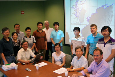
Other members of the VIMS storm-surge modeling team are professors Jian Shen and David Forrest, emeritus professor Albert Kuo, marine scientist Mac Sison, and post-doctoral researchers and graduate students Yanqui Meng, Hongzhou Xu, Bo Hong, Chaofeng Tong, Yi-Cheng Teng, Derek Loftis, Qubin Qin, and Zhengui Wang
CIPS
In addition to VIMS, the Chesapeake Inundation Prediction System (CIPS) includes researchers and officials from the Chesapeake Research Consortium; the U.S. Geologic Survey; the National Weather Service’s Chesapeake Bay Office, NOAA’s Middle Atlantic River Forecast Center; the University of Maryland Center for Environmental Science; Old Dominion University; WeatherFlow, Inc.; and Noblis.
CIPS is an initiative of the Chesapeake Bay Observing System (CBOS), itself part of the Integrated Ocean Observing System’s Mid-Atlantic Regional Association Coastal Ocean Observing System (MARACOOS).

