
The Hampton Roads Chart
Mark Tiddeman, 1735
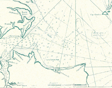
Until 1735, the only significant chart of any part of the Bay to appear from the time of the Thornton Chart was that of Mark Tiddeman. As master of the British vessel Tartar from 1724 to 1728, he made surroundings of the Hampton Roads area at the mouth of the Chesapeake. His chart was published in The English Pilot. This was from the 1750 edition. The Hampton Roads Chart includes more complete soundings than any previously available as far north as the York River to Yorktown and in the James to Norfolk.