
Anthony Smith
London, July 1776
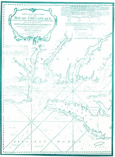
The publication of the Fry - Jefferson Map in 1751 provided the basis for development of many new charts to assist navigation. On July 1, 1776, this chart was published in London. The nautical information was attributed to Anthony Smith, a pilot of St. Mary County. A French version was published in 1778. This was the best chart of the Chesapeake until the U.S. Coastal Survey commenced its work in 1840.